Map tiles API
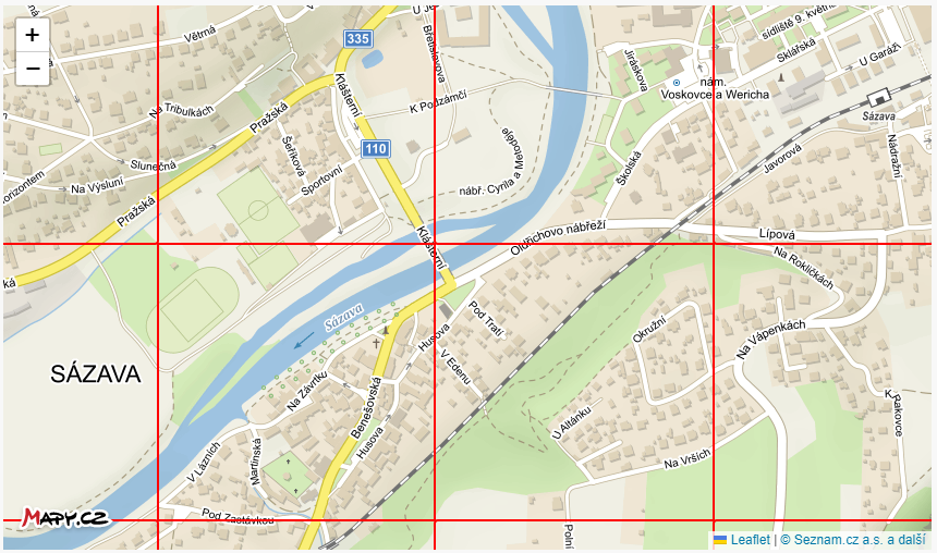
Functionality for accessing raster map tiles, from which you can easily create an interactive map. Check out this example to see how a map is composed of map tiles.
A map tile is an image with a size of 256x256px (or 512x512px for retina displays), which corresponds to the given coordinates and zoom level of the selected map set.
Various map libraries can work with tiles in this format. They will take care of combining individual tiles/images into a continuous map that can be panned and zoomed.
You can check out specific implementations for some libraries in the Tutorials.
When using map tiles, don’t forget about proper attribution (including displaying the logo and copyright).
Map Sets
In the REST API, we offer the following map sets in popular styles used on Mapy.cz
- Basic Map (basic)
- Tourist Map (outdoor)
- Aerial Map (aerial) – clean aerial map without labels
- Labels and borders (names-overlay) – transparent layer of labels and borders of states.
- Winter Map (winter)
Take a look at samples of map sets. Switch between individual sets using the button in the top right corner of the map.
Detailed settings of ranges and zooms for individual map sets are provided by the tiles.json function.
Attention: The aerial map has limited zoom levels. Specifically: the entire world only up to zoom level 13, only the Czech Republic up to 20, Slovakia, Austria, Poland, Slovenia, France, and Switzerland up to 19, Germany (excluding federal states of Baden-Württemberg, Bremen, and Schleswig-Holstein) up to 19.
Function Description
- Access to map tiles – this function returns a single map tile from the selected map set, at the chosen zoom level and position. The function parameters are in the standard format that can be used by map libraries.
- Tiles.json – describes the properties of the selected map set in the format of https://github.com/mapbox/tilejson-spec. In JSON format, it returns the URL of this set, correct attribution, valid zoom levels, and other metadata of the map set.
Technical Documentation
https://api.mapy.cz/v1/docs/maptiles/
The technical documentation contains a precise description of input and output parameters, default values, errors, and other details.
Input parameters
| mapset | Map set – more in chapter Map set |
| tileSize | Choice between normal and retina tiles. Retina tiles are available only in the Basic, Outdoor, and Winter map sets. |
| z, x, y | Zoom and tile coordinates |
| lang | Preferred language. The selected value affects only tiles with z <= 6. State names are displayed in English for all selected languages except cs, sk. |