Mapy.cz URL
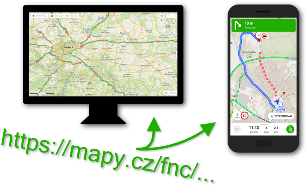
With the URL function of Mapy.cz, you can easily construct URLs that Mapy.cz understands (both the website and mobile application). By calling this URL, you trigger a selected function (map display, search, planning, etc.).
Thanks to these URLs, you can easily launch/open Mapy.cz from your website or application. Calling it on the web opens the Mapy.cz website. Calling it on mobile launches the Mapy.cz mobile application (if installed, otherwise the web version).
Prefix for all URLs: https://mapy.cz/fnc/v1
Mapy.cz URLs are freely available. They do not require an API key for their invocation.
/showmap
This function is used to set the map display at defined coordinates and to display a point.
Parameters:
| mapset | string | Defines the mapset on the displayed map. The default value is “basic”. Valid values are: basic, outdoor, winter, aerial, traffic. |
| center | string | Defines the center of the map (also the position of the point if the marker parameter is set to true). The default value is an empty string. Format: lon,lat. |
| zoom | number | Defines the map zoom. The default value is an empty string. |
| marker | boolean | Determines whether a marker should be displayed at the specified coordinates (center parameter). The default value is false. |
Examples:
- https://mapy.cz/fnc/v1/showmap
- https://mapy.cz/fnc/v1/showmap?mapset=winter
- https://mapy.cz/fnc/v1/showmap?mapset=winter¢er=14.4203523,50.0313731
- https://mapy.cz/fnc/v1/showmap?mapset=winter¢er=14.4203523,50.0313731&zoom=16
- https://mapy.cz/fnc/v1/showmap?mapset=winter¢er=14.4203523,50.0313731&zoom=16&marker=true
/search
This function is used to display search results.
Parameters:
| mapset | string | Defines the mapset on the displayed map. The default value is “basic”. Valid values are: basic, outdoor, winter, aerial, traffic. |
| center | string | Defines the center of the map. The default value is an empty string. Format: lon,lat. |
| zoom | number | Defines the map zoom. The default value is an empty string. |
| query | string | Defines the search query. The default value is an empty string. |
Examples:
- https://mapy.cz/fnc/v1/search
- https://mapy.cz/fnc/v1/search?query=restaurace
- https://mapy.cz/fnc/v1/search?query=restaurace&mapset=outdoor
- https://mapy .cz/fnc/v1/search?query=restaurace&mapset=outdoor¢er=14.4203523,50.0313731
- https://mapy.cz/fnc/v1/search?query=restaurace&mapset=outdoor¢er=14.4203523,50.0313731&zoom=16
/route
This function is used to display planned routes.
Parameters:
| mapset | string | Defines the mapset on the displayed map. The default value is “basic”. Valid values are: basic, outdoor, winter, aerial, traffic. |
| start | string | Defines the starting point. The default value is an empty string. Format: lon,lat. |
| end | string | Defines the destination point. The default value is an empty string. Format: lon,lat. |
| routeType | string | Defines the planning type. The default value is “car_fast”. Valid values are: car_fast, car_fast_traffic, car_short, foot_fast, bike_road, bike_mountain. |
| waypoints | string | Defines waypoints (max 15). The default value is an empty string. Format: lon,lat; lon,lat;… |
| navigate | boolean | Determines whether to immediately activate navigation in the mobile application. The default value is false. Note: This parameter is only supported by newer versions of applications released from April 2024 onwards. Older applications only open the route, and navigation can be started manually. |
Examples:
- https://mapy.cz/fnc/v1/route
- https://mapy.cz/fnc/v1/route?mapset=traffic
- https://mapy.cz/fnc/v1/route?mapset=traffic&start=14.4606,50.0878
- https://mapy.cz/fnc/v1/route?mapset=traffic&end=14.3681,50.0292
- https://mapy.cz/fnc/v1/route?mapset=traffic&start=14.4606,50.0878&routeType=car_fast_traffic
- https://mapy.cz/fnc/v1/route?mapset=traffic&end=14.3681,50.0292&routeType=car_short
- https://mapy.cz/fnc/v1/route?mapset=traffic&start=14.4606,50.0878&end=14.3681,50.0292
- https://mapy.cz/fnc/v1/route?mapset=traffic&start=14.4606,50.0878&end=14.3681,50.0292&routeType=car_fast_traffic
- https://mapy.cz/fnc/v1/route?mapset=traffic&start=14.4606,50.0878&end=14.3681,50.0292&routeType=car_fast_traffic&waypoints=14.5087,50.0335
- https://mapy.cz/fnc/v1/route?mapset=traffic&start=14.4606,50.0878&end=14.3681,50.0292&routeType=car_fast_traffic&waypoints=14.5377,50.0831;14.5087,50.0335
- https://mapy.cz/fnc/v1/route?mapset=traffic&start=14.4606,50.0878&end=14.3681,50.0292&navigate=true
- https://mapy.cz/fnc/v1/route?mapset=traffic&start=14.4606,50.0878&end=14.3681,50.0292&routeType=car_fast_traffic&waypoints=14.5377,50.0831;14.5087,50.0335&navigate=true
“`