Skip to content
  • REST API Mapy.cz
  • Pricing
  • FAQ
  • Further uses of Mapy.cz
  • News
  • Reference
  • Contact
  • My Account

  • REST API Mapy.cz
    • How to start
    • API key
    • Rest API function
      • Map tiles
        • Map tile consumption
      • Geocoding
        • Queries and Data
      • Routing
      • Elevation
      • Static maps
      • Time zones
      • Static Panorama
    • Map libraries
    • Atribution
    • REST API Tutorials
      • How to show map
      • Switching map layers
      • Markers and geometries
      • Static maps
      • Routing
      • Geocoding
      • Suggest
      • Reverse geocoding
      • JS Panorama
      • Static Panorama
      • Getting elevation
      • Local time and time zones
      • Address validation
      • Aerial map with labels
      • Desaturated map
      • Zooming the map while geocoding
      • Matrix routing
      • Displaying the elevation profile of a route
    • Testing labs
  • JS Panorama
  • JS SDK Mapy.cz
    • Discontinuation of support for JS SDK
    • Transition from JS SDK to new REST API
  • My account
    • How to log in
    • Project and API keys
    • API key security
    • Financial settings
      • How to turn on paid consumption
      • Extended tariff
    • Seznam Wallet
    • Consumption history
    • User management
    • Catalog of reference projects
    • Deleting user account
  • Pricing
    • Price calculator
  • Frequently asked questions
  • Further uses of Mapy.cz
    • IFrame – embedding map into your own website
    • Mapy.cz URL
    • Calling the Mapy.cz mobile application
    • Printed products
  • Contact
  • Terms and conditions

  • My account
Čeština Search
Help menu
  • REST API Mapy.cz
    • How to start
    • API key
    • Rest API function
      • Map tiles
        • Map tile consumption
      • Geocoding
        • Queries and Data
      • Routing
      • Elevation
      • Static maps
      • Time zones
      • Static Panorama
    • Map libraries
    • Atribution
    • REST API Tutorials
      • How to show map
      • Switching map layers
      • Markers and geometries
      • Static maps
      • Routing
      • Geocoding
      • Suggest
      • Reverse geocoding
      • JS Panorama
      • Static Panorama
      • Getting elevation
      • Local time and time zones
      • Address validation
      • Aerial map with labels
      • Desaturated map
      • Zooming the map while geocoding
      • Matrix routing
      • Displaying the elevation profile of a route
    • Testing labs
  • JS Panorama
  • JS SDK Mapy.cz
    • Discontinuation of support for JS SDK
    • Transition from JS SDK to new REST API
  • My account
    • How to log in
    • Project and API keys
    • API key security
    • Financial settings
      • How to turn on paid consumption
      • Extended tariff
    • Seznam Wallet
    • Consumption history
    • User management
    • Catalog of reference projects
    • Deleting user account
  • Pricing
    • Price calculator
  • Frequently asked questions
  • Further uses of Mapy.cz
    • IFrame – embedding map into your own website
    • Mapy.cz URL
    • Calling the Mapy.cz mobile application
    • Printed products
  • Contact
  • Terms and conditions

  • My account

REST API Tutorials

Check out practical and functional examples (including source code) of how to use the Mapy.cz REST API.
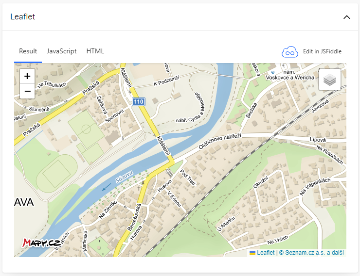
Basic Examples

  • Map Display
  • Switching Map Layers
  • Markers and Geometry on the Map
  • Static maps
  • Route Planning
  • Geocoding
  • Autocomplete
  • Reverse Geocoding
  • Panorama
  • Static Panorama
  • Getting elevation
  • Local time and time zones

Advanced Examples

  • Address Validation
  • Zooming the map while geocoding
  • Aerial map with labels
  • Desaturated map
  • Displaying the elevation profile of a route
  • Matrix routing

  • Withdraw consent
Copyright © 1996–2024, Seznam.cz, a.s.