New map set names-overlay
14. 11. 2023
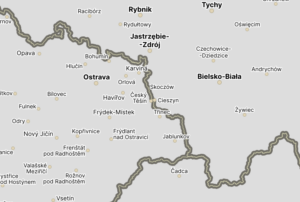
We are adding a new map set called names-overlay. It consists of transparent tiles that contain only names (of countries, cities, streets, etc.) and country borders.
This map layer is usually not used independently but is placed above the layer of aerial images (which contain only pure visual data without names). This combination creates what is known as a hybrid map – an aerial map with labels.
The map is available via the Map tiles REST API.
You can take a look at a simple example here.