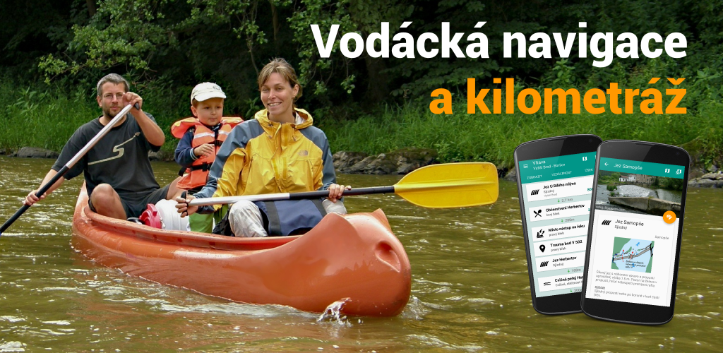
Canoeing navigation
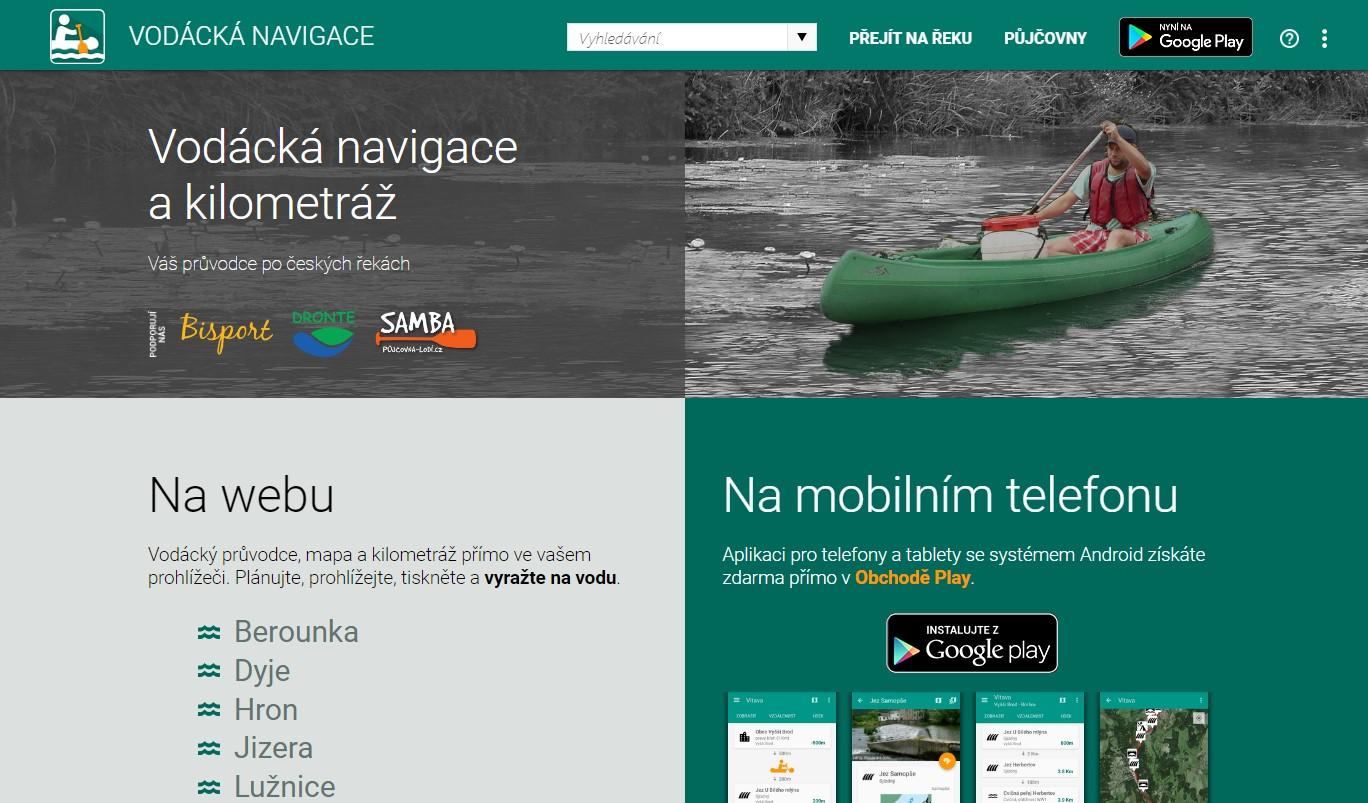
Guide and navigation for paddling Czech rivers.
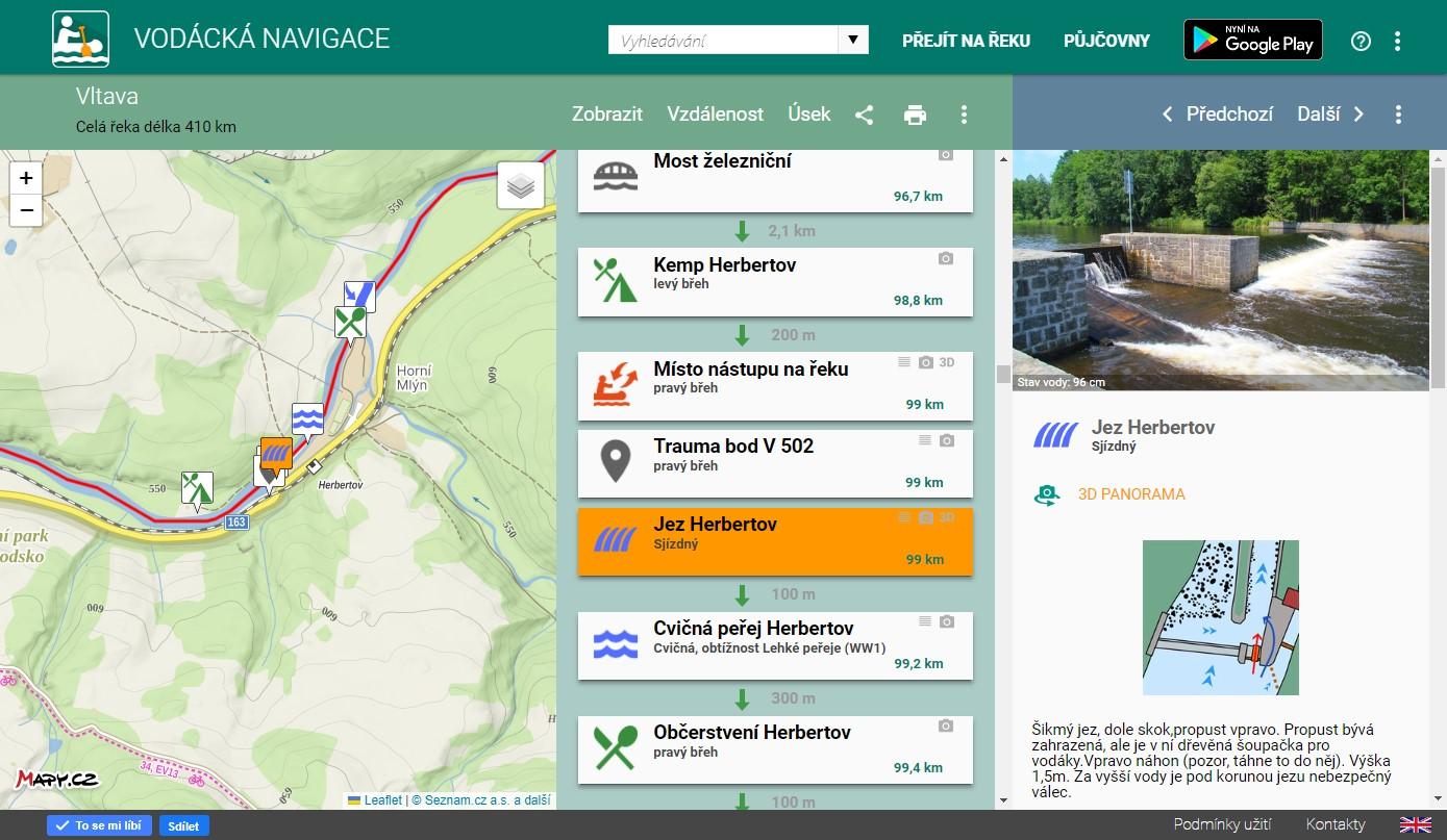
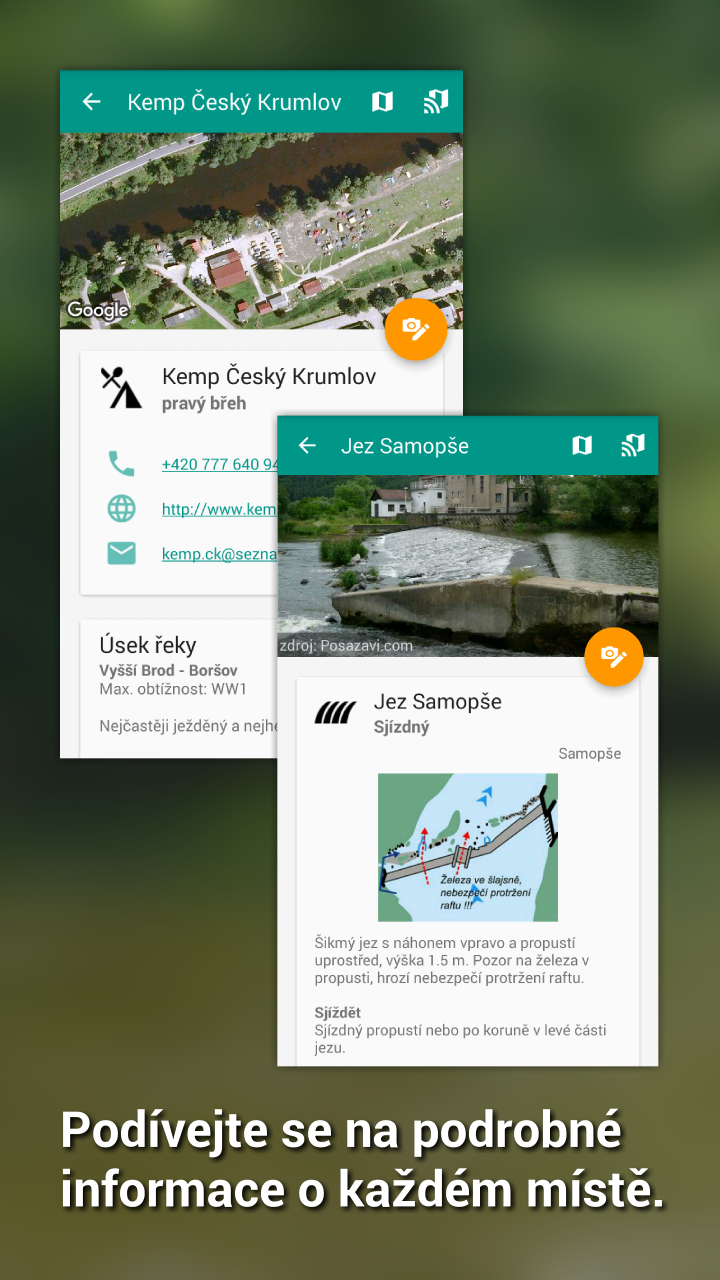
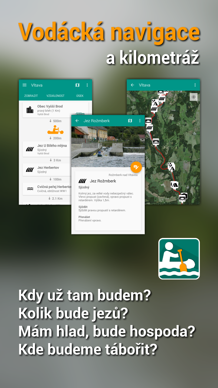
When will we get there? How many weirs are we going to pass by? Which line to choose? I'm hungry, is there any restaurant? Where are we going to camp? How is called the castle nearby? All of this and lot more you can easily and quickly find in the mobile app Canoeing navigation.
We use the Mapy.cz REST API to display the map, above which we draw the river axis and points on the river. We also use JS Panorama to display images of selected places by the river.